
Kent Rehberi — Living City Map
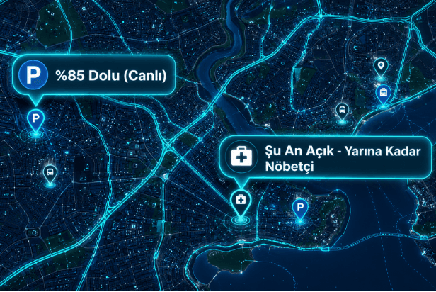
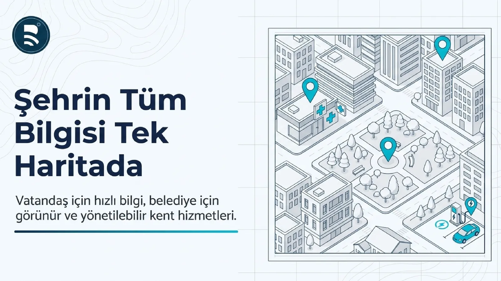
A platform that collects municipal services, important points and live city data in a single 3D supported map.
6+
5
4
Web + Mobile
Kent Rehberi Bringing City Points, Services and Layers Together on the Live Map
The platform that combines municipal services, important points and live city data in the city on a single map. Eight data layers — address, urban services, transportation, health/education, environment, tourism, energy and disaster — are navigated in 2D/3D/satellite views; Information such as parking lot occupancy and pharmacy on duty is live, not static. Identity and owner information is sorted on the server side, it is not reflected to the citizen. Biryerden is a member of the Kamu Karar Destek Platformu family.
Operational scope
Problems Solved & Value Delivered
The facilities invested in could not be found digitally
City data remained in static brochures and PDFs
Access to critical information, such as disaster recovery area, was slow
Call center load decreases, investments become visible
Access to disaster information in seconds
KVKK compatible: personal data is not reflected on the citizen
Technical Features & Modules
Eight layers of data — adRESTen to disaster analysis
3D city navigation — MAKS supported building models, 2D/3D/satellite migration
Live data — parking occupancy, pharmacy on-duty status
Search, filter, rating and favorites
Four-mode directions—vehicle, public transit, pedestrian, bicycle
Staff independent content update
Mobil Kent Rehberi
Location-based nearest service recommendation
Explore the project through its presentation
Use arrow keys or scrolling to move between slides.
See this project in your organization
Fill out the form and we will plan a tailored demo or return with a similar project proposal.
Explore our other field-tested projects
Let's Discuss Your Project
We'll listen to your requirements, schedule a custom demo, or provide a quote within 24 hours.