
BirTespit — Kaçak Yapı Tespit Sistemi
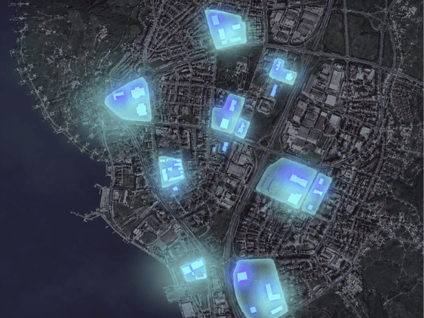
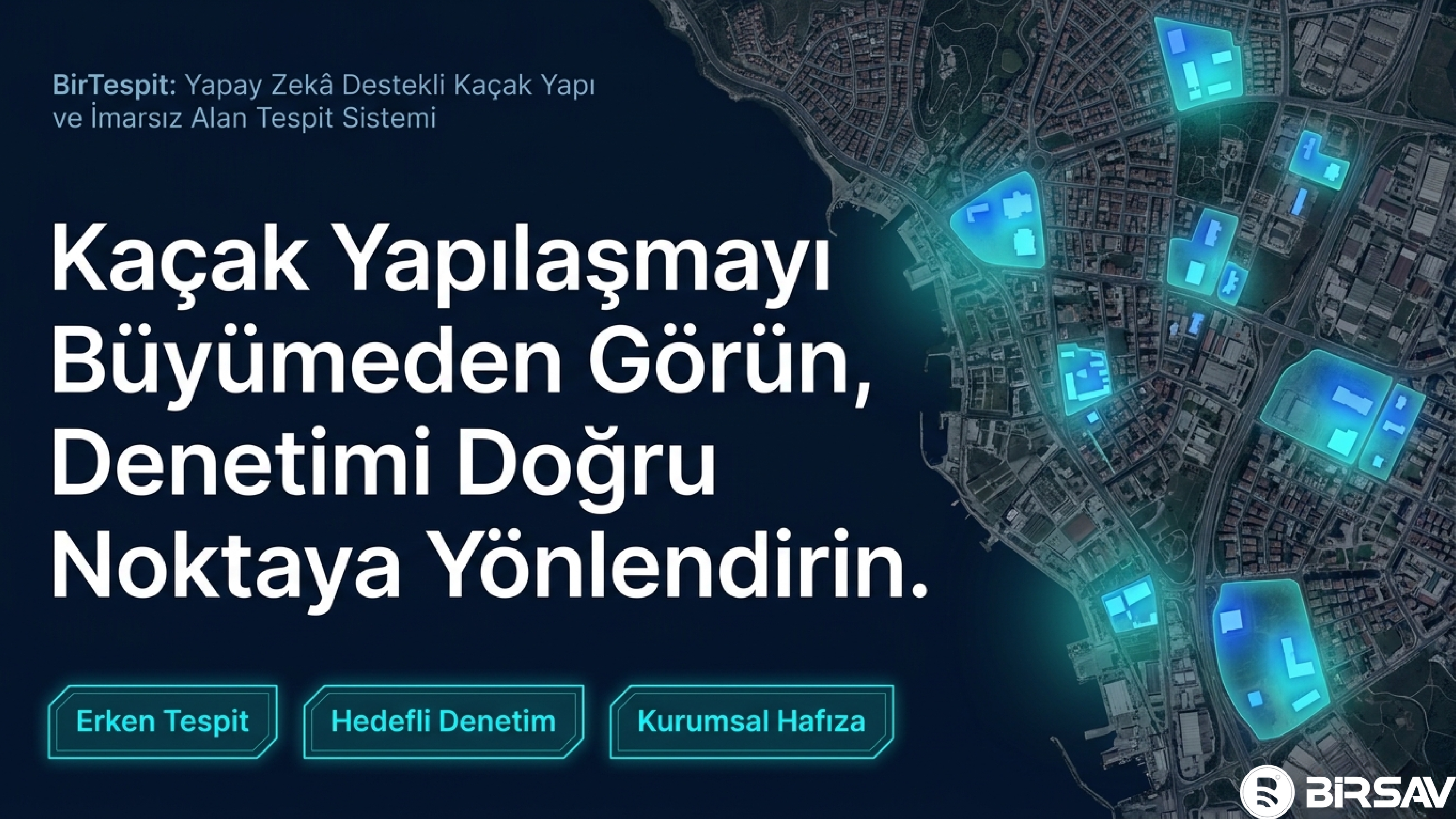
Detection of structure change with AI from periodic satellite images; The entire process from discovery to sanction is in a single panel. Live in the field in multiple municipalities.
6+
4
3
Website
Focused project structure that produces measurable operational value
Comparing periodic satellite images with the segmentation model and automatically extracting new/unauthorized building candidates; auditing platform that verifies candidates with a second AI layer and connects each finding to the task-action-document flow on a neighborhood/street-based map. With multi-municipal licensing architecture, each institution operates in its own region; It is used live in the field in more than one municipality.
Operational scope
Problems Solved & Value Delivered
Illegal building detection depended on complaint and random site tours
It was not possible to scan the district regularly with human power.
The post-detection process (report, duty, sanction) was carried out unrecorded.
District-wide screening: exponential increase in detection coverage
Early intervention in new construction
Seamless, auditable process recording from discovery to sanction
Technical Features & Modules
Periodic satellite image comparison (segmentation AI)
Neighborhood/street based change map (satellite + WMTS layers)
Second layer AI verification — false alarm elimination
Finding → task → action → document process file
Construction file and sanction tracking
Multi-municipal license and role management
Field verification — finding by location, photographic report
Explore the project through its presentation
Use arrow keys or scrolling to move between slides.
See this project in your organization
Fill out the form and we will plan a tailored demo or return with a similar project proposal.
Explore our other field-tested projects
Let's Discuss Your Project
We'll listen to your requirements, schedule a custom demo, or provide a quote within 24 hours.